
WHAT'S HOT
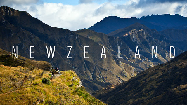
Discover New Zealand
Dutch explorer Abel Tasman sighted New Zealand in 1642 and called it Staten Landt, supposing it was connected to a landmass of the same name at the southern tip of South America. In 1645 Dutch cartographers renamed the land Nova Zeelandia after the Dutch province of Zeeland. British explorer James Cook subsequently anglicised the name to New Zealand.
Aotearoa (often translated as “land of the long white cloud”) is the current Māori name for New Zealand. It is unknown whether Māori had a name for the whole country before the arrival of Europeans, with Aotearoa originally referring to just the North Island. Māori had several traditional names for the two main islands, including Te Ika-a-Māui (the fish of Māui) for the North Island and Te Waipounamu (the waters of greenstone) or Te Waka o Aoraki (the canoe of Aoraki) for the South Island. Early European maps labelled the islands North (North Island), Middle (South Island) and South (Stewart Island / Rakiura). In 1830, maps began to use North and South to distinguish the two largest islands and by 1907 this was the accepted norm. The New Zealand Geographic Board discovered in 2009 that the names of the North Island and South Island had never been formalised, and names and alternative names were formalised in 2013. This set the names as North Island or Te Ika-a-Māui, and South Island or Te Waipounamu.
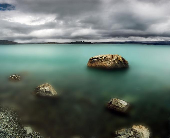
New Zealand is located near the centre of the water hemisphere and is made up of two main islands and a number of smaller islands. The two main islands (the North Island, or Te Ika-a-Māui, and the South Island, or Te Waipounamu) are separated by the Cook Strait, 22 kilometres (14 mi) wide at its narrowest point. Besides the North and South Islands, the five largest inhabited islands are Stewart Island, the Chatham Islands, Great Barrier Island (in the Hauraki Gulf), d’Urville Island (in the Marlborough Sounds) and Waiheke Island (about 22 km (14 mi) from central Auckland). The country’s islands lie between latitudes 29° and 53°S, and longitudes 165° and 176°E.
New Zealand is long and narrow (over 1,600 kilometres (990 mi) along its north-north-east axis with a maximum width of 400 kilometres (250 mi)), with about 15,000 km (9,300 mi) of coastline and a total land area of 268,000 square kilometres (103,500 sq mi) Because of its far-flung outlying islands and long coastline, the country has extensive marine resources. Its Exclusive Economic Zone is one of the largest in the world, covering more than 15 times its land area.
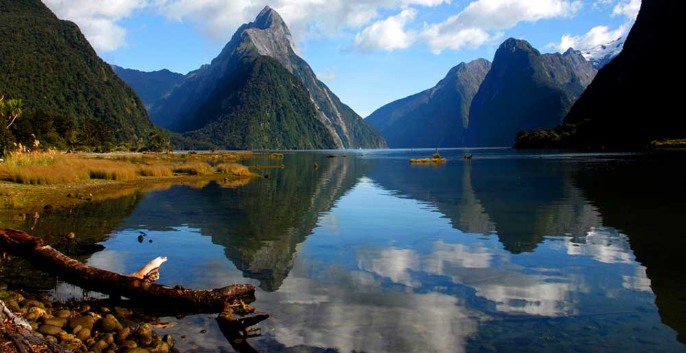
The South Island is the largest landmass of New Zealand, and is divided along its length by the Southern Alps. There are 18 peaks over 3,000 metres (9,800 ft), the highest of which is Aoraki / Mount Cook at 3,754 metres (12,316 ft). Fiordland’s steep mountains and deep fiords record the extensive ice age glaciation of this south-western corner of the South Island. The North Island is less mountainous but is marked by volcanism. The highly active Taupo Volcanic Zone has formed a large volcanic plateau, punctuated by the North Island’s highest mountain, Mount Ruapehu (2,797 metres (9,177 ft)). The plateau also hosts the country’s largest lake, Lake Taupo, nestled in the caldera of one of the world’s most active super volcanoes.
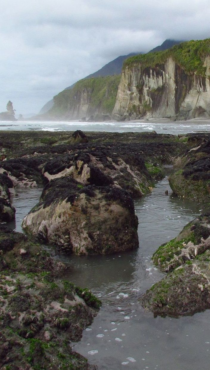
The country owes its varied topography, and perhaps even its emergence above the waves, to the dynamic boundary it straddles between the Pacific and Indo-Australian Plates. New Zealand is part of Zealandia, a microcontinent nearly half the size of Australia that gradually submerged after breaking away from the Gondwanan supercontinent. About 25 million years ago, a shift in plate tectonic movements began to contort and crumple the region. This is now most evident in the Southern Alps, formed by compression of the crust beside the Alpine Fault. Elsewhere the plate boundary involves the subduction of one plate under the other, producing the Puysegur Trench to the south, the Hikurangi Trench east of the North Island, and the Kermadec and Tonga Trenches further north.
New Zealand is not part of the continent of Australia, but of the separate, submerged continent of Zealandia. New Zealand and Australia are both part of the wider regions known as Australasia and Oceania. The term Oceania is often used to denote the region encompassing the Australian continent, New Zealand and various islands in the Pacific Ocean that are not included in the seven-continent model.

You must be logged in to post a comment Login